
Visual positioning Brings Augmented Reality to World Scale
A major step towards world scale augmented reality has been made with the May 2022 announcements by both Google and Niantic, regarding availability of their separate world scale visual positioning solutions. In short, both organisations have separately released their stage 1 tech to AR developers, and officially entered the next era of 3D mapping our world.
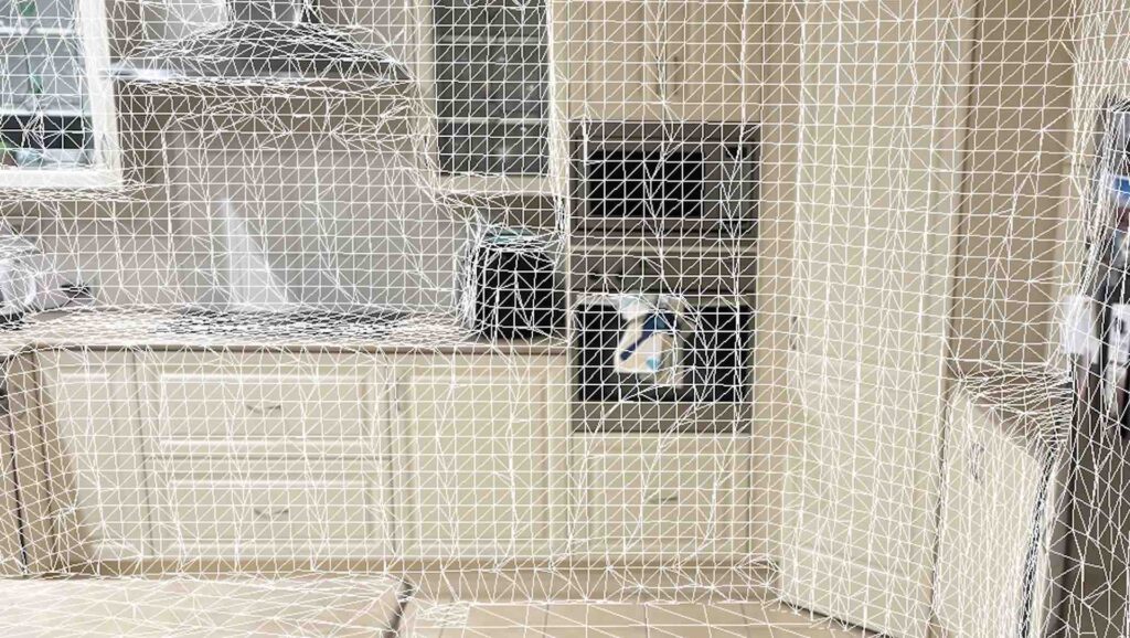
The primary purpose of this tech is to provide the ability for developers and users to create and experience real world Augmented Reality (indoor and outdoor), that has detailed geometric understanding of a location.
Google is leveraging its map, satellite and street view data and technology, while Niantic is using the public, surveyors, and developers to collectively and manually 3D map the world as they play.
This is significant in three ways. Firstly it enables the ability for applications to locate and orientate a user and anchored AR content in the real world within centimetres of accuracy. This is opposed to the current GPS ‘meters’ accuracy option.
Secondly this enables the anchored content to be persistent and consistent. This means it will always be in exactly the same spot when you come back.
Finally, but as important, it lays the foundation for simultaneous, multi-user experiences i.e. multiple users can interact with the same AR content, at the same time, at the same location.
The Niantic approach provides mapping interiors, such as museums and non-road accessible locations like parks such more accessible. Google obtains and matches their data from street view. Obviously there are many location you might want to map that do not have a road running through it.
For details on Niantic’s Visual Positioning System (VPS) view 14:20 at https://event.lightshipsummit.com/.
There is also a recent interview with Brian McClendon – SVP Engineering for AR, Research, & Mapping at Niantic Labs, Inc. the https://youtu.be/wb5Vr64v_Bw?t=344. Encode and audio quality is a little dodgy, but worth watching.
The release of the Google’s Spatial Mapping API can be viewed at https://www.youtube.com/watch?v=pFn11hYZM2E. The whole thing is worth watching. The Google API currently provides the ability to set latitude, longitude and altitude of an asset, as well as determine the users location and orientation in relation to the asset. As they mention Geospatial understanding of the surrounding environment is on the way soon.
YOU MAY ALSO ENJOY
Basic Insights on Deepfakes
Deepfaking to enable a user to replace a photo of their own head onto multiple custom still photo scenes. Surprisingly the result was a lot harder to achieve than I expected. I thought deepfake had well progressed into video content, and as a result a deepfake of a still should be a walk in the park. Surprisingly it isn't!
Augmented Reality Content Management Systems
This sojourn into the realm of Augmented Reality Content Management Systems (ARCMS) is a high level pass for digital managers, producers and generalists new to the world of AR.
WEBXR is the future of accessible XR
WebXR is a new standard being created by the World Wide Web Constortium. This standard replaced the now depricated WebVR standard. The Immersive Web Working is continuting to extend and lobby for this new standard’s implementation across all major browsers.